E2M RESEARCH · SÃO PAULO HYPERLOCAL
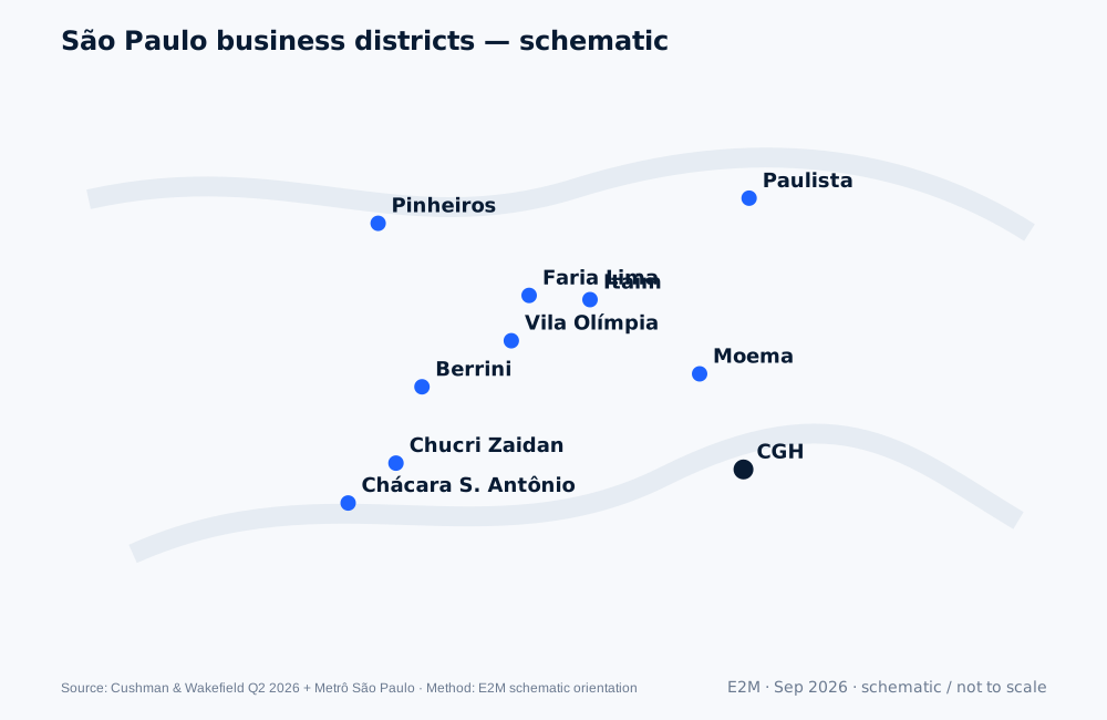
São Paulo Business Districts Map for Foreign Companies
A decision map of São Paulo’s main corporate corridors—what each one optimizes, what it costs, and which transport links matter before you shortlist an office.
Strong fit when
Use this first when HQ has not yet decided whether customer proximity, airport access, transit, prestige, flexibility or cost should dominate the location brief.
What can break the thesis
A map is not a score. Two buildings in the same submarket can differ materially in walkability, access, fit-out, parking, meeting infrastructure and live economics.
Decision lens
São Paulo Business Districts Map for Foreign Companies
Decision questions
- Where are the first 20 target accounts?
- Which airport will executives actually use?
- How much transit access matters for the first team?
Evidence & sources
São Paulo Office MarketBeat Q2 2026Cushman & Wakefield · Class A CBD submarket inventory, vacancy, absorption and asking rents. · Validated 24 Sep 2026
São Paulo Metropolitan Transport Network MapMetrô São Paulo · Official metropolitan rail network map. · Validated 24 Sep 2026
Evidence boundary. District-level market data uses provider-defined submarkets and methodologies. Asking rent is not total occupancy cost. Transit and airport operations can change. Validate live availability, routes and quotes before committing capital.